Welcome to Rennes,capital of brittany
Degemer mat!*
Shortened links

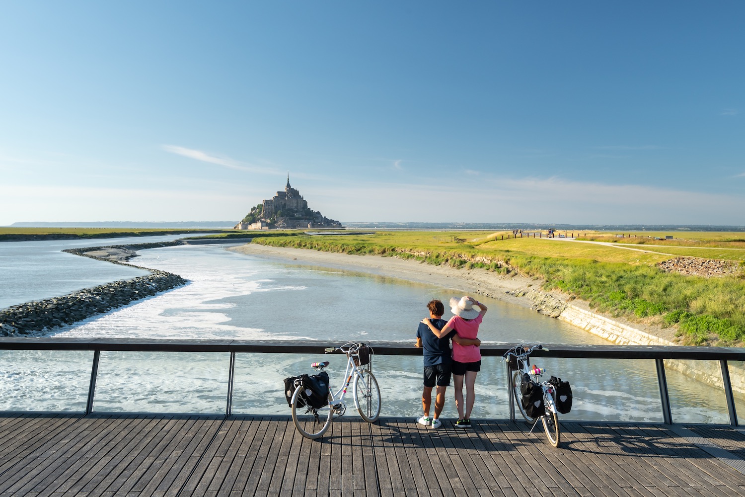
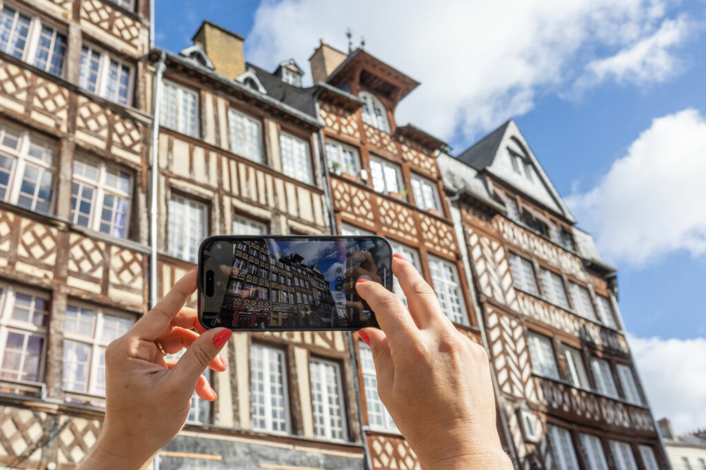
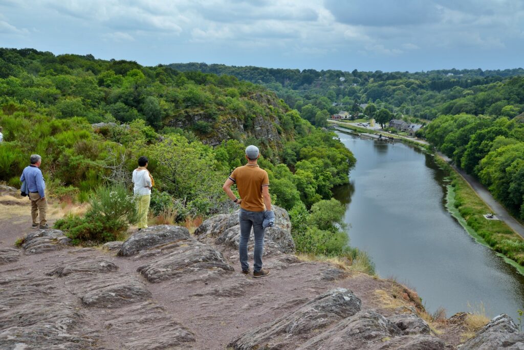
An ideal location for visiting legendary sites
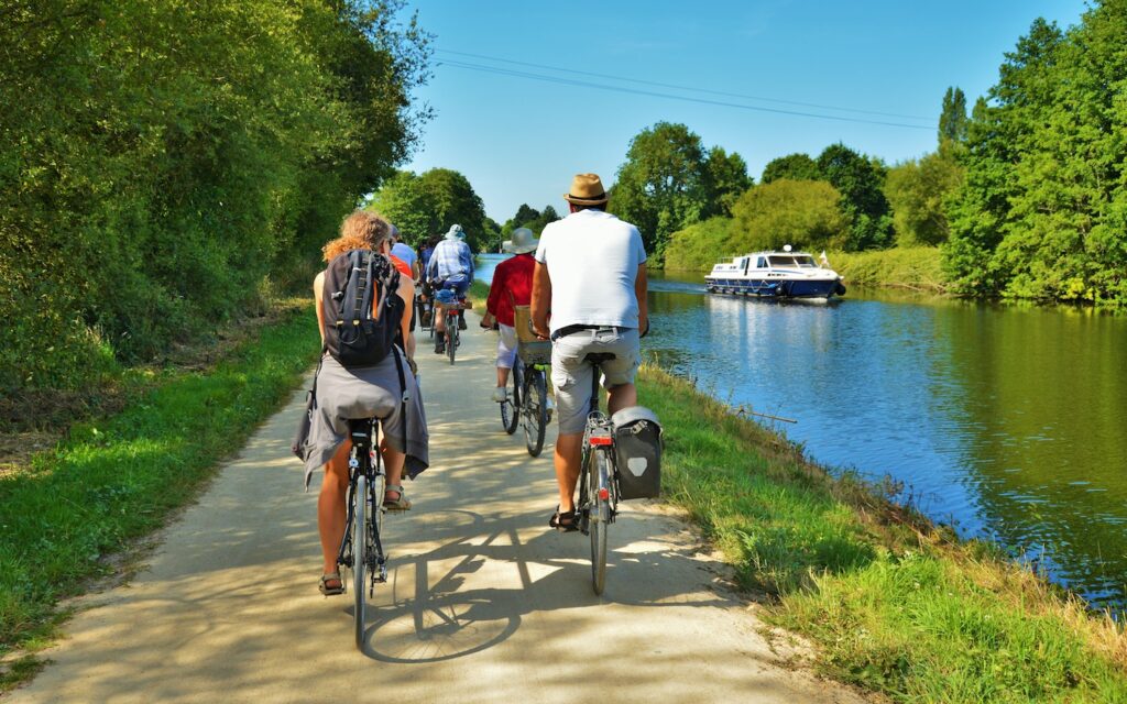
Located just 1 hour 25 minutes from Paris by high-speed train (TGV), Rennes is the ideal destination for visiting Brittany’s legendary sites: in less than an hour from Rennes you’ll be in Saint-Malo and on the beaches of the Emerald Coast, at the heart of the mythical Broceliande Forest, the birthplace of Arthurian legends, or gazing over towards Mont-Saint-Michel. Rennes also lies at the crossroads of the region’s main cycling routes. Its privileged location makes Rennes the Goldilocks of tourist destinations: “just right” for discovering all the treasures of Brittany.
Travel time from Rennes
- To Saint-Malo : By Rennes-Saint-Malo train – operated by SNCF. Travel time: 50 min. Full fare: €15. By car: 55 minutes on the RN137 trunk road.
- To Mont-Saint-Michel : By Rennes-Mont-Saint-Michel bus – operated by Keolis. Travel time: 1 h 10 min. Full fare: €15. By car: 59 minutes on the A84 motorway (no toll).
- To Brocéliande Forest : By Bus n°1a – operated by Breizhgo. Travel time: 1 h. Full fare: €5. By car: 45 minutes on the RN 24 towards Lorient/Vannes.
- To Gulf of Morbihan : By Rennes-Vannes train – operated by SNCF. Travel time: 1 h. Full fare: €20. By car: 1 h 30 min. on the RN 24.
- To Nantes : By Rennes-Nantes train – operated by SNCF. Travel time: 1 h 15 min. Full fare: €18. 1 h by car on the N137.
Where you can stay in Rennes
Hotels and accommodation to suit every taste
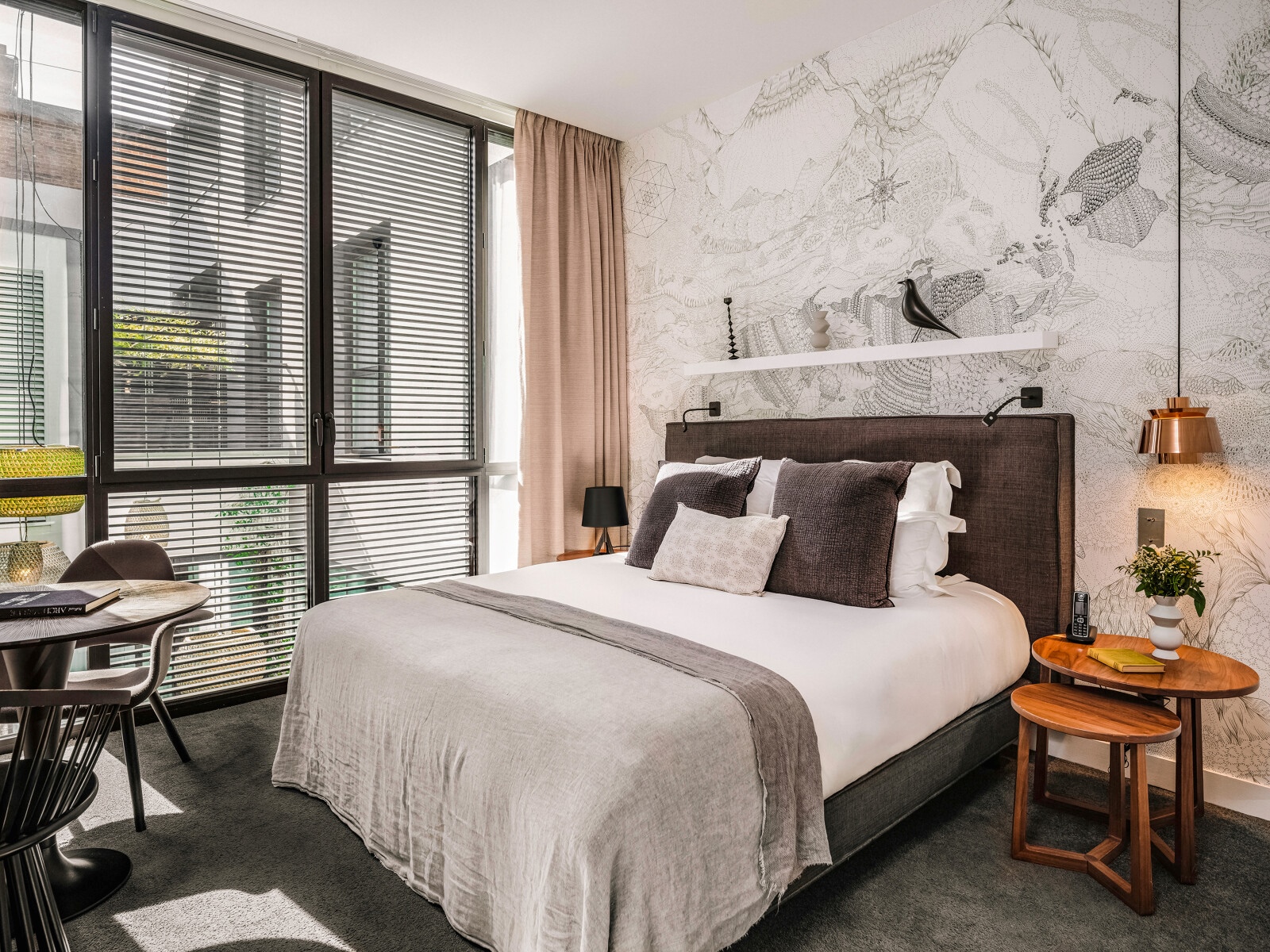
In Rennes, you’ll find a wide range of hotels and accommodation to suit all tastes and budgets. The youth hostel is located on the banks of the canal along the V42 green cycle route to Saint-Malo, not far from the Gayeulles campsite, which is set in a huge park close to the green route. Other establishments are also very affordable in terms of rates, such as the riverside Chouettes Hostel, which has shared dormitories, one of which is reserved for girls. When it comes to unusual accommodation, there are several places you won’t want to miss: the Mama Shelter, located at the heart of the historic center, and the Magic Hall, both of which offer highly original decor and an ideal location.
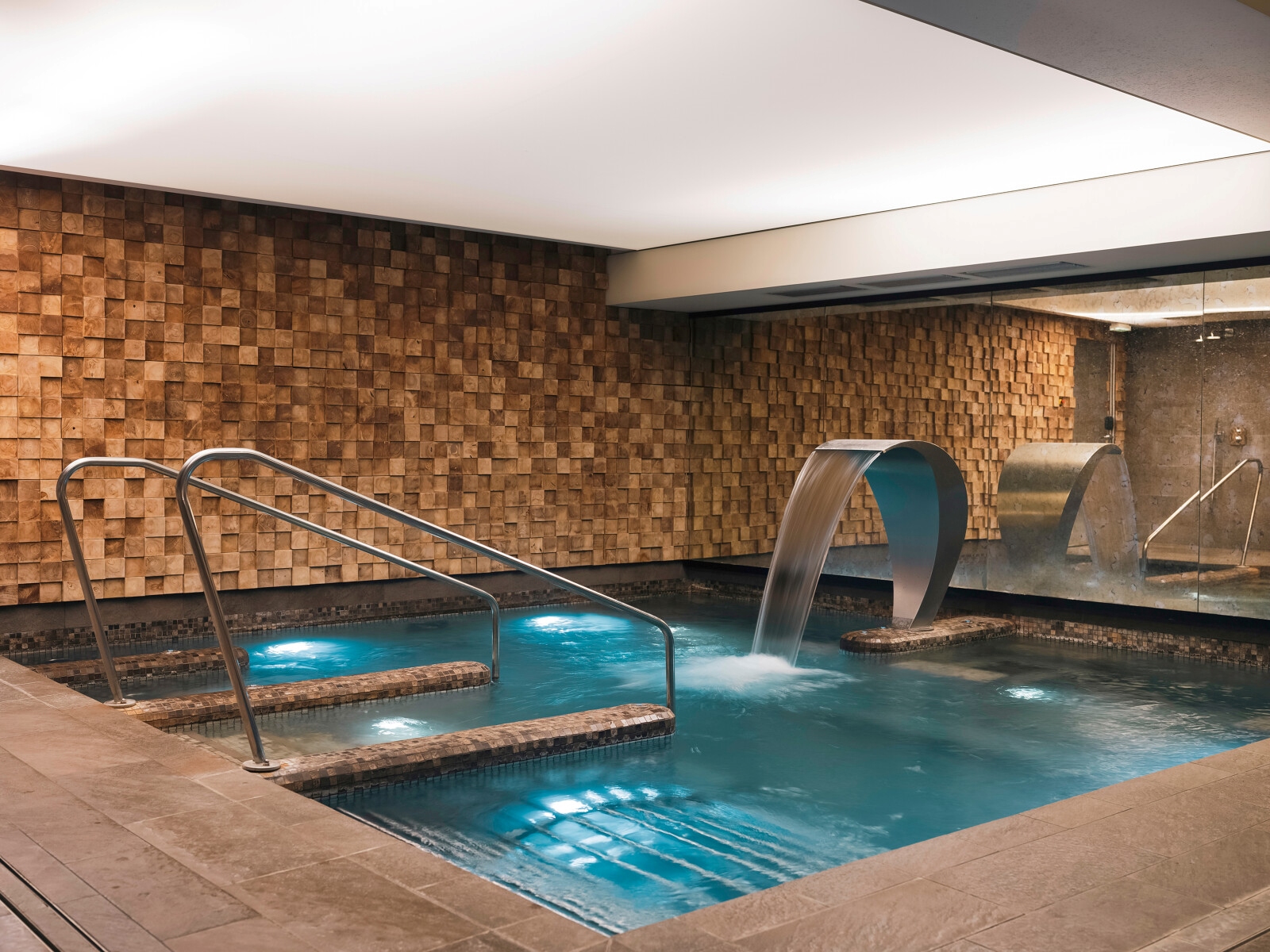
For lovers of relaxation, there are several 4- and 5-star spa hotels with swimming pools and wellness areas to choose from: the BW Premier Collection Saint-Antoine hôtel & Spa, the Novotel Spa and the Balthazar Hôtel & Spa, all just a 5-minute walk from the train station. Located a little further from the centre but accessible by metro, the BW Plus Hôtel Isidore and the Hôtel LeCoqGadby Hôtel & Spa are also ideal choices for those who enjoy massages, jacuzzi pools, hammams, etc.
You’ll find other beautiful residences around Rennes too
The Domaine de Cicé Blossac, a beautiful 4-star property nestled at the heart of a riverside golf course, the Château d’Apigné and its immense park, where you can live that authentic château lifestyle, and numerous charming B&Bs and gîtes if you’re looking to enjoy the peace and quiet of the Breton countryside.
Not to be missed in the city
10 must-have experiences in Rennes
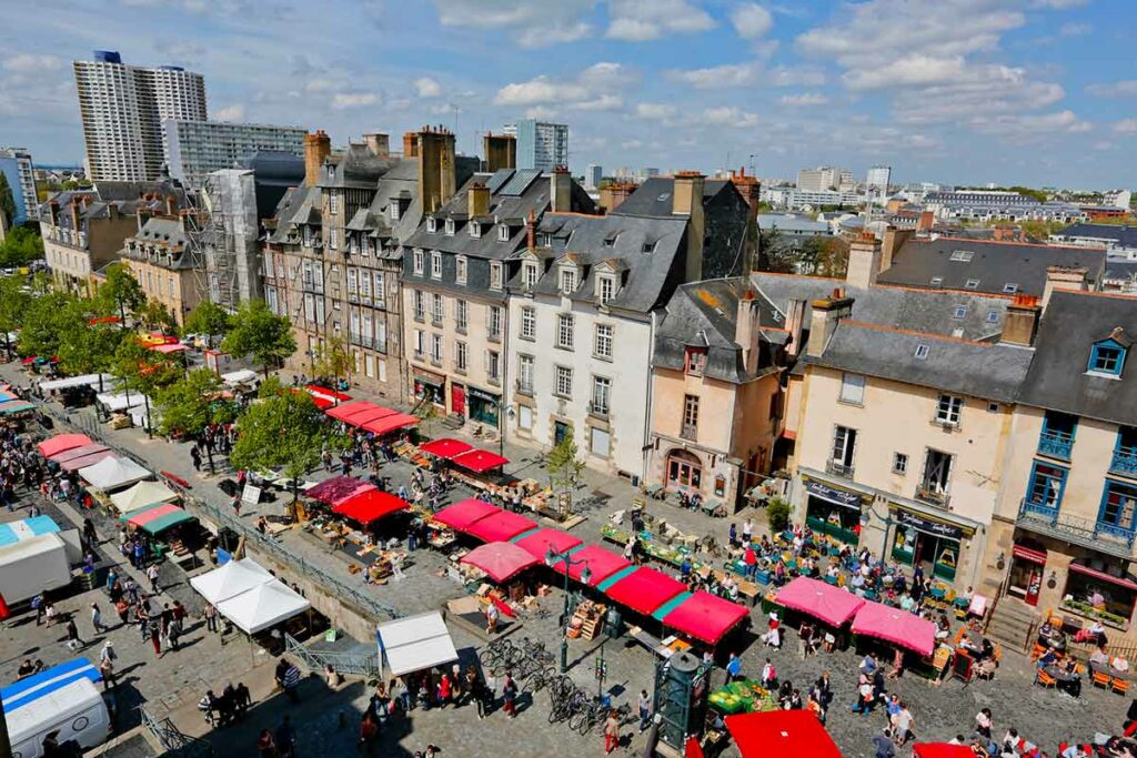


A pleasantly sized city
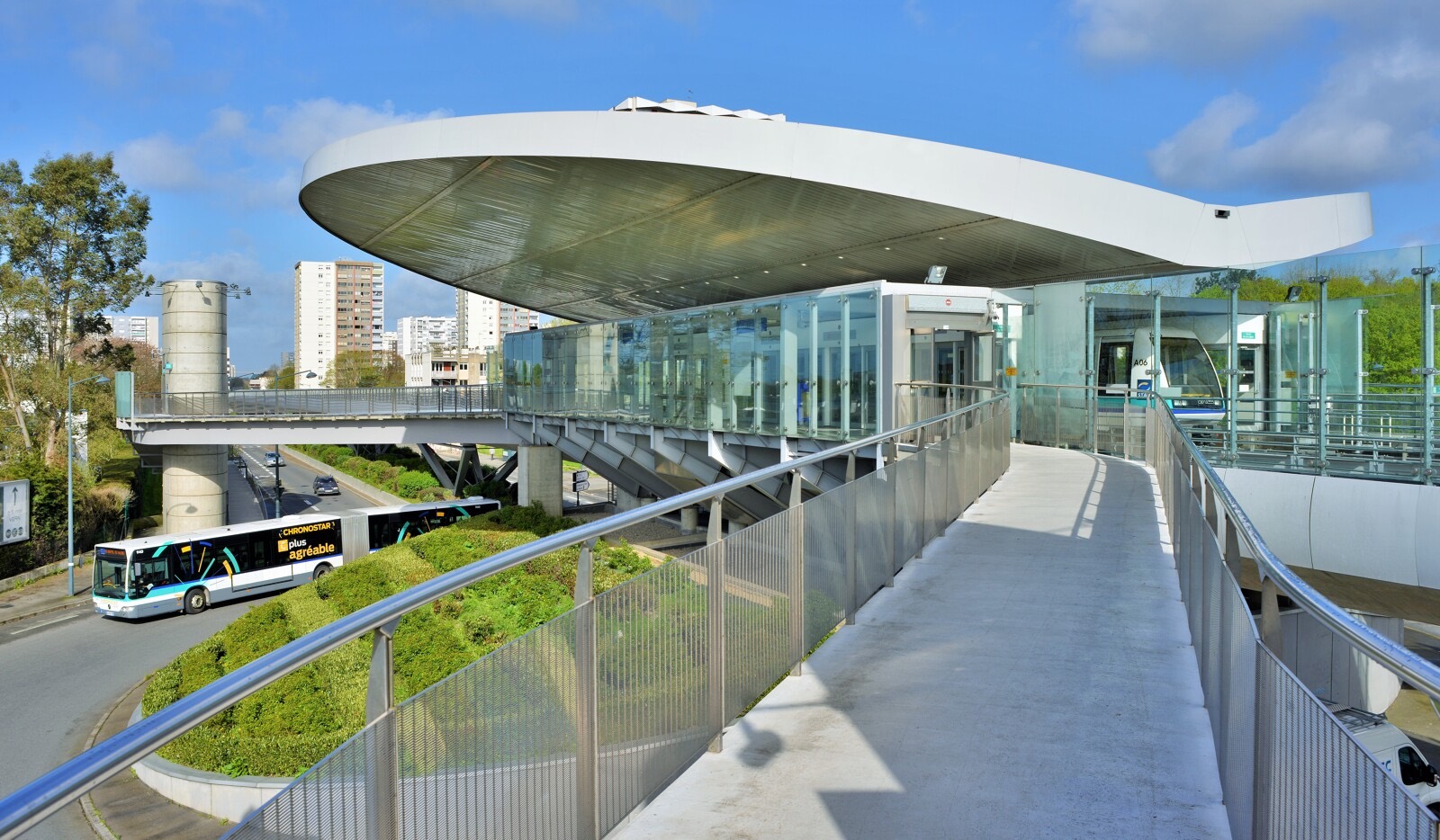
In Rennes, everything can be done on foot or by metro
If you want to get around Rennes, nothing beats walking. The historic center is like a village. It takes just 20 minutes to get from the train station to the tourist office, where you’ll find a number of hotels. Rennes also has two metro lines that can take you from one end of the city to the other in less than 15 minutes.
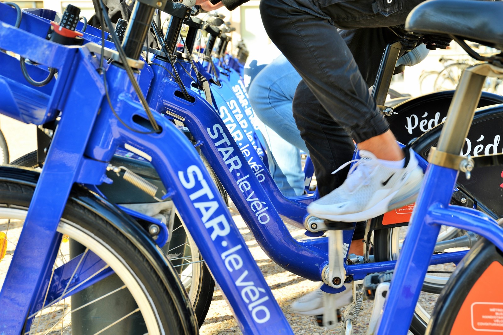
Finally, the day and night bus network and self-service bicycles complete the very comprehensive and safe transport network.
Tickets for the bus and metro network cost €1.70 for one hour of unlimited travel across the entire network. There’s no need to buy a ticket – you can pay directly with your bank card at the entrance gates. Other day packages are available, with special rates for groups or families.
Need advice?
We’re waiting to welcome you to the Tourist Office
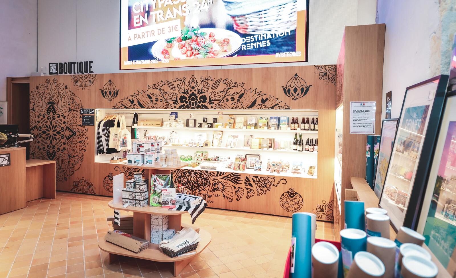
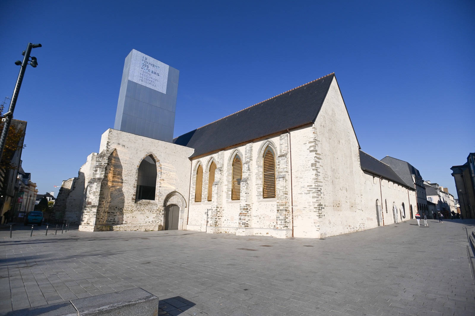
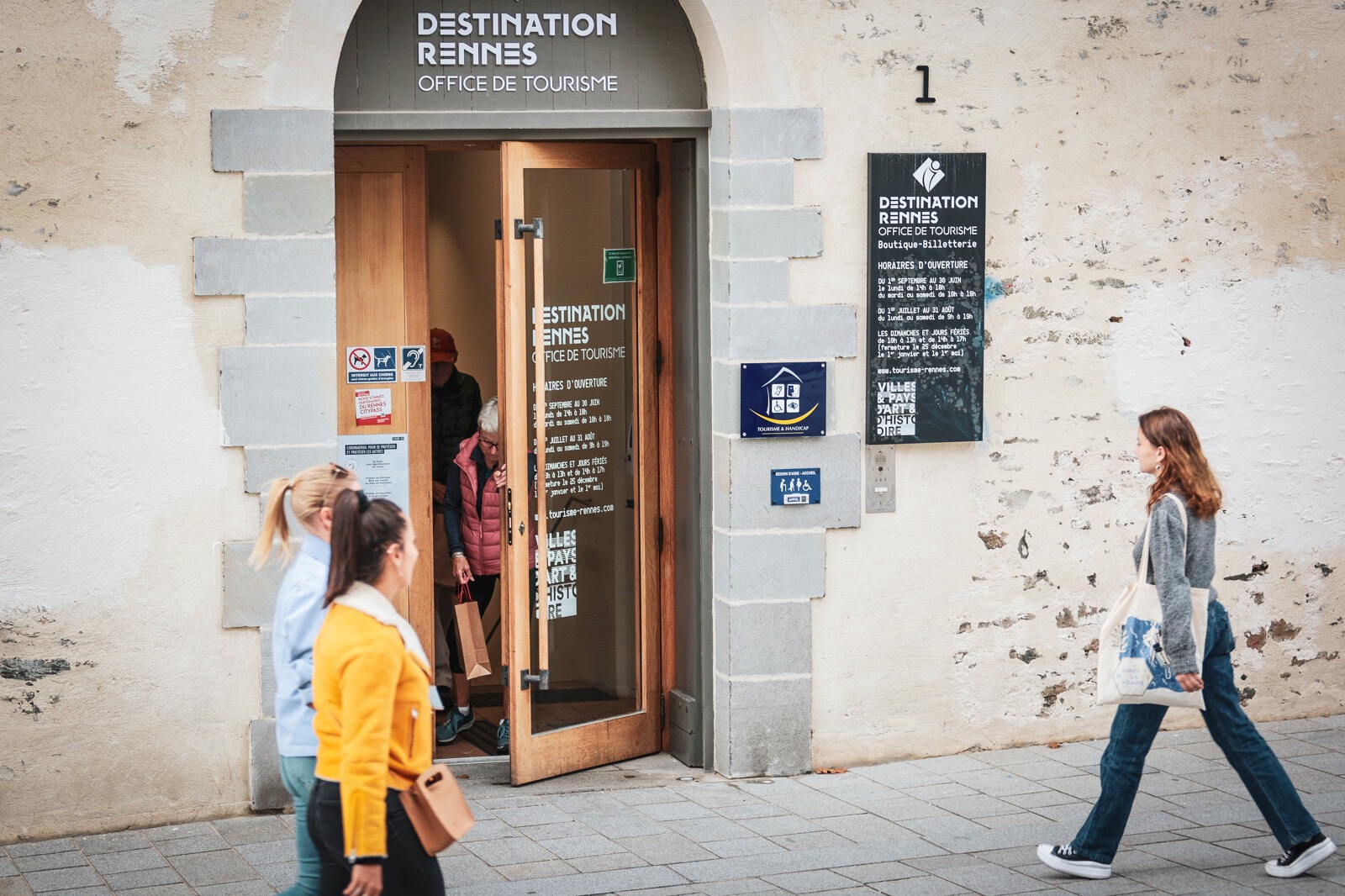
Rennes Tourist Office is located at 1 rue Saint-Malo in the Couvent des Jacobins (convention centre). It’s open 7 days a week, and easily accessible from the Sainte-Anne metro station. The English-speaking travel consultants who work there will give you plenty of ideas for visiting the city, finding accommodation and making the most of your trip to Brittany.
You can also book guided tours and purchase tickets for shows and leisure activities throughout the city and beyond. A shop in the Tourist Office offers a wide selection of local products and environmentally responsible souvenirs.
Tourist Office opening hours:
The Tourist Office, located at 1 rue Saint-Malo, is open 7 days a week at the following times:
- September 1 to June 30 : Monday, 2 p.m. to 6 p.m. Tuesday to Saturday, 10 a.m. to 6 p.m.
- July 1 to August 31 : Monday to Saturday, 9 a.m. to 7 p.m.
- Sundays and public holidays : 10 a.m. to 1 p.m. and 2 p.m. to 5 p.m. (closed on December 25, January 1 and May 1).
- Exceptional closures : December 24 and 31 at 5 p.m.
Questions you may have before coming to Rennes.
How to get around Rennes?
Rennes has two metro lines (a and b) that can take you across the whole city in just 15 minutes. In the historic centre, a free electric shuttle bus helps those who have trouble walking to get around.
Bus routes connect the airport to all parts of the metropolitan area, and provide easy access to all neighbourhoods, day and night. Taxi ranks are located just outside the TGV station, where you’ll also find a number of car rental companies (on level 0 towards the West exit). Tickets are valid for the entire bus and metro network, and also give free access to park-and-ride facilities at the city gates.
Last but not least, the Star network offers a self-service bike rental service from €1 per hour (and €2 for 24 hours). There are 50 stations throughout the city where you can rent or return the bikes. Right next to the bus station, the Maison du vélo (15 bis place de la gare) also offers short-term bike rentals.
What’s the weather like in Rennes?
The Breton climate is mild and temperate.
Summer is generally cooler than in other French regions. In winter, sub-zero temperatures are rare. Generally speaking, the weather in Rennes, like everywhere else in Brittany, is quite changeable. It’s not uncommon to have alternating rain and clear skies in the same day, so it’s a good idea to bring a light rain jacket just in case.
In autumn, the region is occasionally swept by ocean storms that are more spectacular than they are dangerous.
Spring is particularly pleasant, with cool mornings and pleasant afternoon temperatures. Across the entire year, average temperatures in Rennes are around 13 degrees. Excluding heatwaves, summer temperatures fluctuate between 20 and 25 degrees Celsius, or even higher.
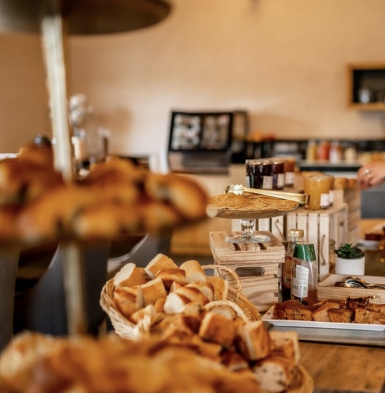
What are the local culinary specialities?
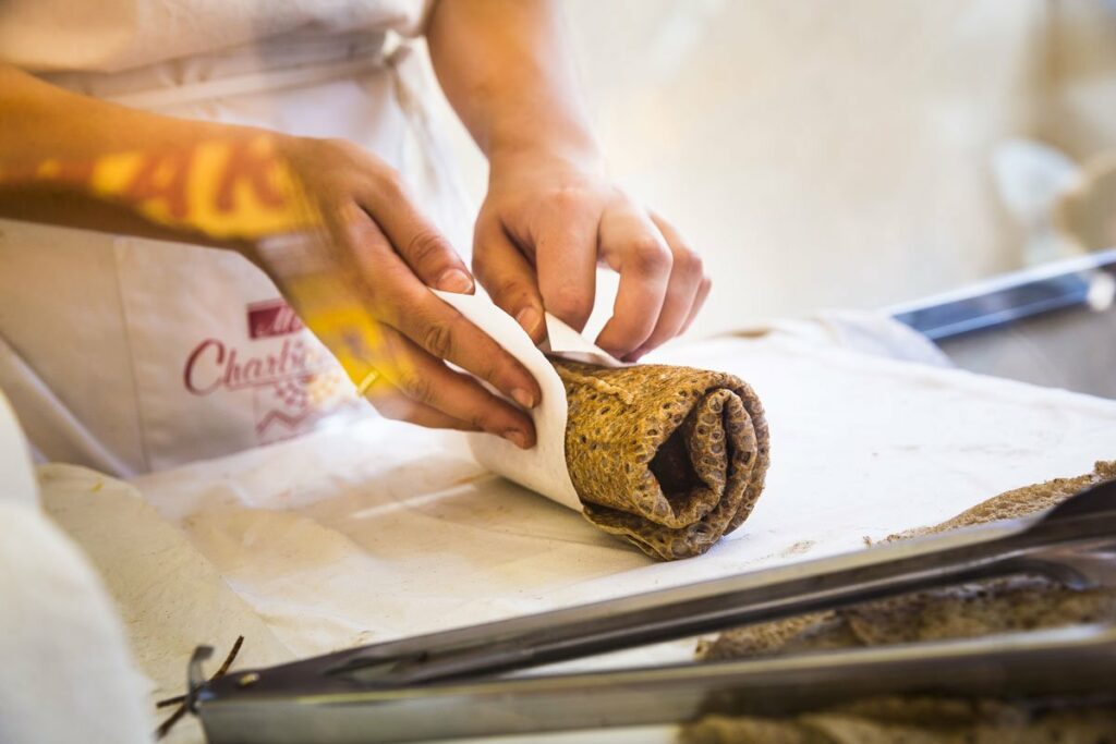
If there’s one local speciality you really must try in Brittany, it’s galettes de blé noir (savoury) and crêpes au froment (sweet).
In Rennes, there are almost forty crêperies where you can sample these delights. These are traditional, inexpensive restaurants that serve dishes for the whole family. But Rennes’ signature speciality is the galette saucisse: a tasty pork sausage wrapped in a buckwheat pancake. It’s a kind of hot dog served with Breton sauce, and usually accompanied by mustard and onion confit.
A popular dish that can be enjoyed on the street or at the market, and which has another advantage: it only costs between €2.50 and €3. To be enjoyed without moderation. In Rennes, you’ll also find the Brittany’s finest local produce being served the restaurants: seafood and produce from local farms, with a higher proportion of organic produce than the rest of France.
When is the best time to visit Rennes?
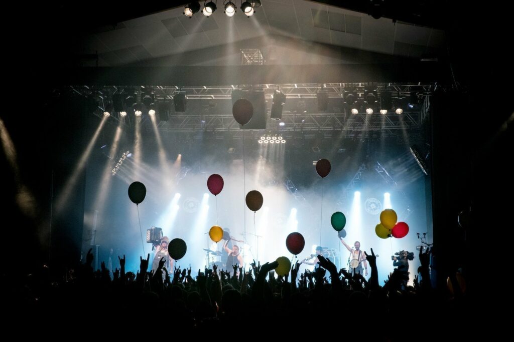
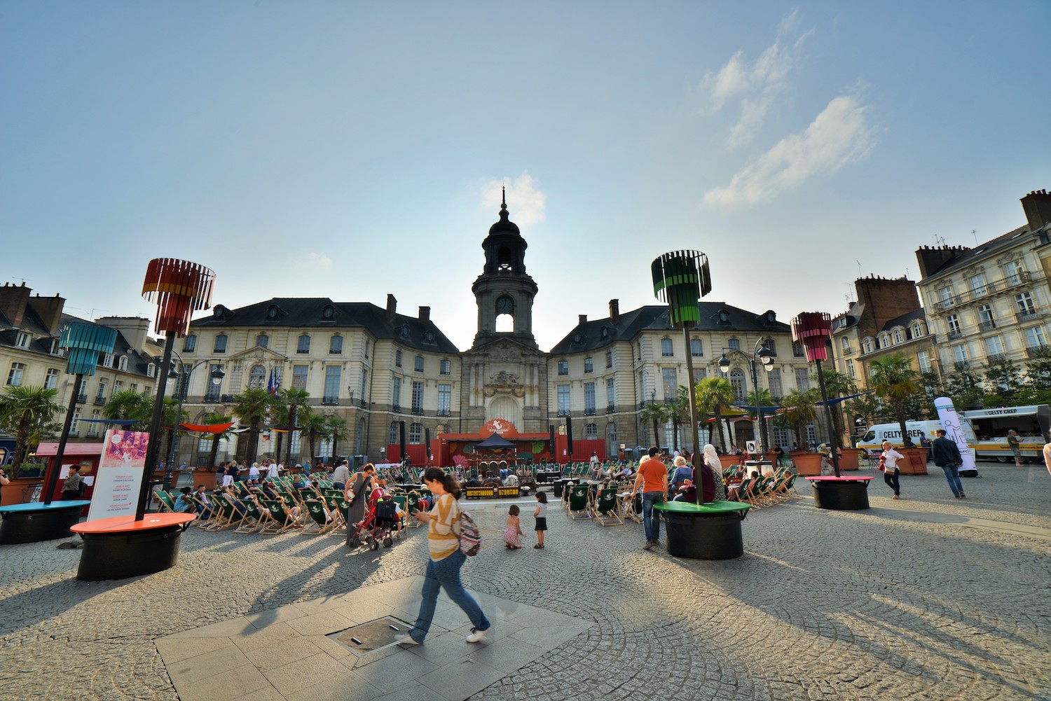
Rennes can be enjoyed all year round, with a cultural or music festival taking place nearly every week.
The liveliest times are at the end of the year, in December, when the Trans Musicales music festival, Christmas markets, outdoor lighting displays, huge projections onto the town hall and end-of-year shows all take place.
During the summer months of June, July and August, you can enjoy major contemporary art exhibitions as part of Exporama, screenings at the Parlement de Bretagne and many other free festivals (Transat en ville and Tombées de la nuit).
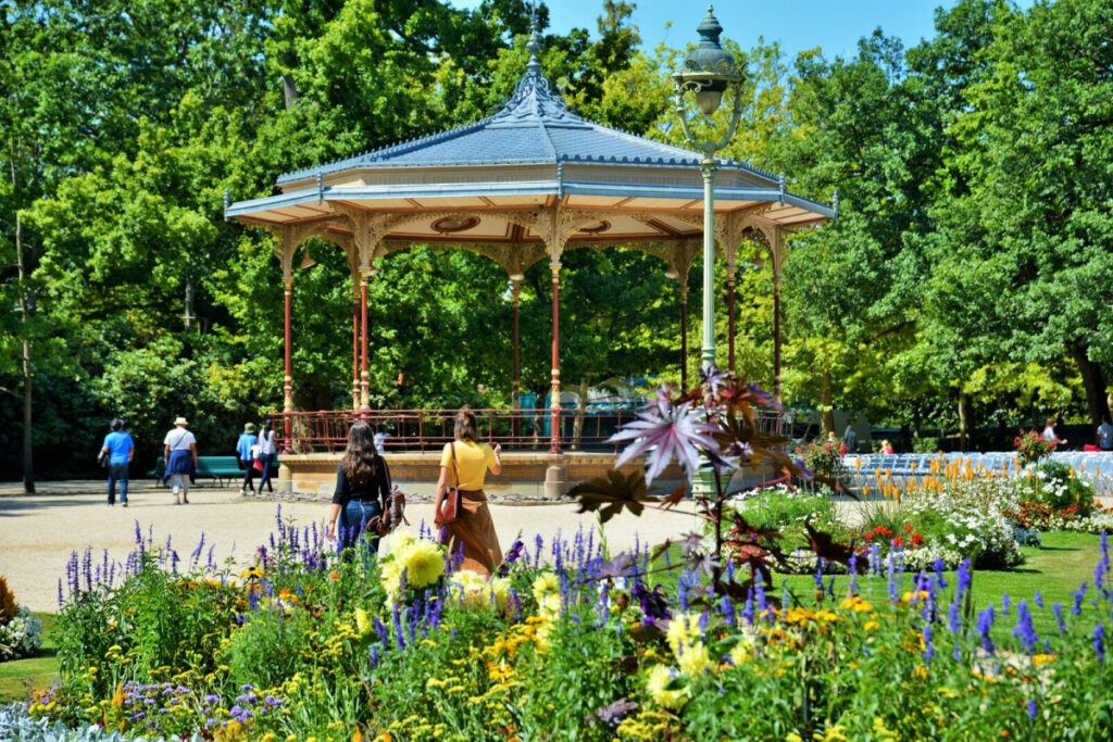
September is also a busy time for cultural events, with several film and music festivals and heritage days taking place, when you can visit many monuments free of charge. Spring is the ideal time for cycling, walking along the canals and strolling through the flower gardens (Le Thabor, Parc Oberthür, Prairies Saint-Martin, Jardin Saint-Georges).
What languages are spoken in Brittany?
The official language in Brittany and Rennes is French. The Breton language is still very much alive in the region. In the part of Haute-Bretagne where Rennes is located, the traditional language is called Gallo.
If you don’t speak French, Breton or Welsh, you’ll encounter plenty of English speakers due to the large student population and the region’s cultural proximity to Great Britain. Last but not least, at the Tourist Office, our travel consultants can answer your questions in English, German or Spanish.
Where can I safely leave my luggage?
Hotels often offer to keep your luggage safe if you’ve stayed there. Additionally, many shops and businesses are part of the nannybag network, making it easy to reserve somewhere to store your luggage.
Who to call in an emergency
Emergency numbers in Rennes are the same as anywhere else in France:
112, the European emergency number, even works without a SIM card.
- Call 18 to contact the fire service.
- Dial 15 to contact Samu (the emergency medical service).
- Call 17 to contact the police and gendarmes.